Team will assess ‘change of markings’ by Janardhana Reddy’s OMC
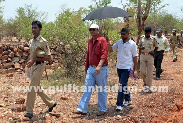
Bellary: A team of the Survey of India (SOI) began the long-pending survey of the border between Karnataka and Andhra Pradesh in the district on Saturday.
This comes in the backdrop of the controversy over the alleged change of the inter-state boundary by the Obulapuram Mining Company (OMC), owned by former minister Janardhana Reddy, so as to encroach mining land.
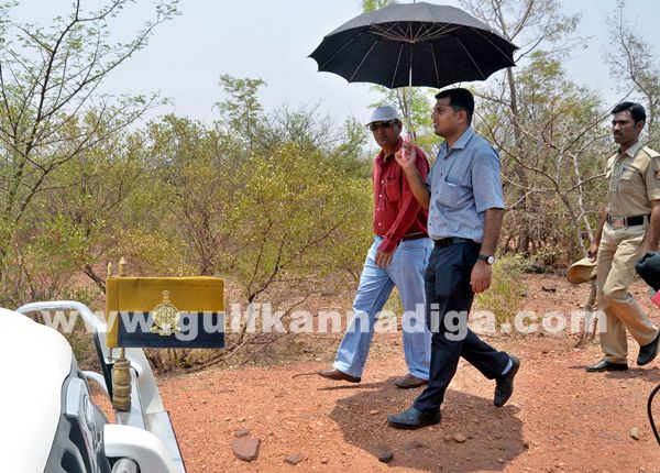
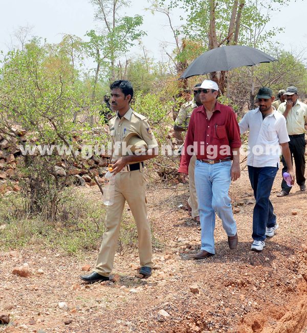
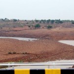
The team is headed by Swarna Subbarao, Surveyor General of the SOI, a Government of India undertaking headquartered in Dehradun. It comprises three officials each of the two states and conducted survey in Siddapura, Vittalapura, Ganglapura, Malpangudi, Tumti and other villages in Bellary’s reserve forests. They inspected boundary marks in the hills of these villages.
Karnataka was represented in the team by more than 30 technical staff, including Srinivas, deputy director of the department of land records from Udupi, Umesh from Raichur and Shamshuddin from Bailahongal in Belgaum district.
Jhansi Rani, deputy director of the Kurnool division of the Andhra Pradesh Survey Department and joint directors Bhaskar and Devadas represented the neighbouring state in the survey team.
Subbarao told reporters, “The boundary markings in the villages are being surveyed as per the direction of the Supreme Court. Original documents in the possession of the survey and revenue departments as also village maps are being relied upon”.
He said that they had no plans to go in for a GPS-based survey. Boundary marks in reserve forest number 6 of Bellary district are being inspected in phase one, he said, adding that there was no deadline for this. The entire survey would be completed by the end of May, Rao said.
Background
Tapal Narayana Reddy of the Tumti Mines had lodged a complaint in the Toranagal police station of the district, alleging that OMC had destroyed markings of the original boundary in Tumti, Vithalapura and Malpangudi in the State.
A team of the SOI, led by A K Pada, had visited the district in 2010, for a survey of the mining areas. Teams from the Central Bureau of Investigation and the Central Empowered Committee of the Supreme Court had subsequently conducted investigations and submitted reports to the apex court regarding the alteration of the mining boundaries.
The report submitted to the State government by the then Lokayukta, Justice Santosh Hegde, too had mentioned that the inter-state boundary markings had been tampered with.
Mining baron Tapal Ganesh has expressed confidence that the inter-state disputes regarding mining boundaries would be resolved, following the latest survey by the SOI team.