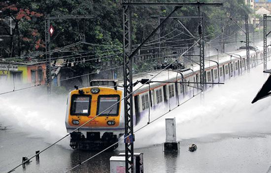
MUMBAI: It is only 10 days since monsoon arrived in Mumbai, and the city has already received about a third of the annual average rainfall. What’s more, if the rainfall figures between June 1 and June 16 alone are taken into consideration, then the city has received the highest rainfall for the period in 22 years.
Between June 1 and June 16 this year, Colaba recorded 748.9mm of rainfall while Santa Cruz got 755.8mm. Colaba has already covered 33.7% of its annual average of 2,220mm while Santa Cruz has covered 29.1% of its annual average of 2,598mm. Compared to the previous years, the monsoon has been intensely active so far this year.
In 2012, though, a delayed monsoon hit the city only on June 17. The past year’s figure, therefore, cannot be pitted against the other years. The year before, 2011, was considered a good rainfall year, Colaba and Santa Cruz received 420mm and 482mm, respectively, in the first 16 days of June, even though monsoon was declared on June 5 then.
Over the past 22 years, only 2003 had received more rainfall in June. However, the 783mm rainfall in Santa Cruz in 2003 is the total monthly figure for the month. This makes the city’s rainfall till June 16 this year the highest since 1991; that year, rainfall in Santa Cruz for the entire month of June totalled 905mm.
According to weather experts, quality of the monsoon depends on a few climatic parameters. “Monsoon is a complicated global system, which depends on parameters such as the jet stream effect or the Indian Ocean dipole effect. Sometimes even El Nino affects the monsoon negatively,” said N Y Apte, deputy director general of Indian Meteorological Department, Mumbai.
One of the main parameters is the subtropical westerly jet. This air current flows in the north of the Indian plains towards Tibetan Plateau. As the Plateau heats up, the low pressure created over it pulls the westerly jet northwards. The shift of the jet is sudden and abrupt, causing the south-west monsoon rains to burst on to the Indian plains.
On the other hand, the Indian Ocean dipole, also known as the Indian Nino, is an irregular oscillation of sea-surface temperatures. The dipole winds blow over the Indian Ocean from east to west. This results in the warming of the Arabian Sea, and cooling of the eastern Indian Ocean around Indonesia .
“Suppose two-three of these parameters work favourably, the monsoon is normal for that particular year. If more parameters work favourably, then the monsoon is more than normal,” said Apte.