New Delhi, October 13: Hours after cyclone Phailin hit coasts of Odisha and Andhra Pradesh, the IMD on Sunday said the worst in terms of wind velocity is over, but warned that heavy rains are expected in Bihar and north Chhattisgarh in the next 48 hours and a flood warning has been issued to the state.
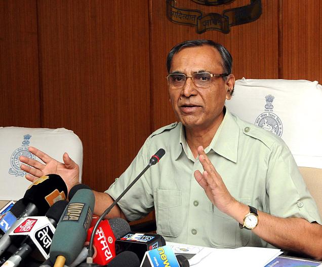
Director General, Meteorology, L.S. Rathore said here that there has been “zero loss of life” after the cyclone made a landfall last night.
Incidents of trees falling on roads have been reported and according to the information available with Mr. Rathore, the process to clear the roads is on in full swing in both the states.
He said the wind speed now was 100-110 kmph, which can gust up to 120 kmph in Odisha in the next 12 hours. The cyclone is currently 50 km south of Sambalpur in Odisha.
Regarding rainfall, Mr. Rathore told a press conference that it will be widespread in Odisha and north Andhra Pradesh.
Rains will “wean off” in Andhra Pradesh but will continue in Odisha for the next 24 hours.
A flood warning has been issued to Bihar in view of the cyclone.
He warned that plains of Bihar and the catchment areas of Kosi and Gandhak rivers will receive heavy rainfall. The plains will get rains in the next 48 hours when the system moves to Nepal, while the catchment areas of the two rivers will also receive rains in the next 72 hours.
The IMD said as of now, Phailin has been categorised as “severe cyclone” in Odisha. It will be downgraded to cyclone later in the evening and then into a deep depression.
On Monday, it will be put in the category of depression, as per prevailing trends.
Mr. Rathore said rainfall is also expected in north Chhattisgarh, Jharkhand and Gangetic plains of West Bengal in the next 24 to 72 hours.

